


Sectors
Services
2020
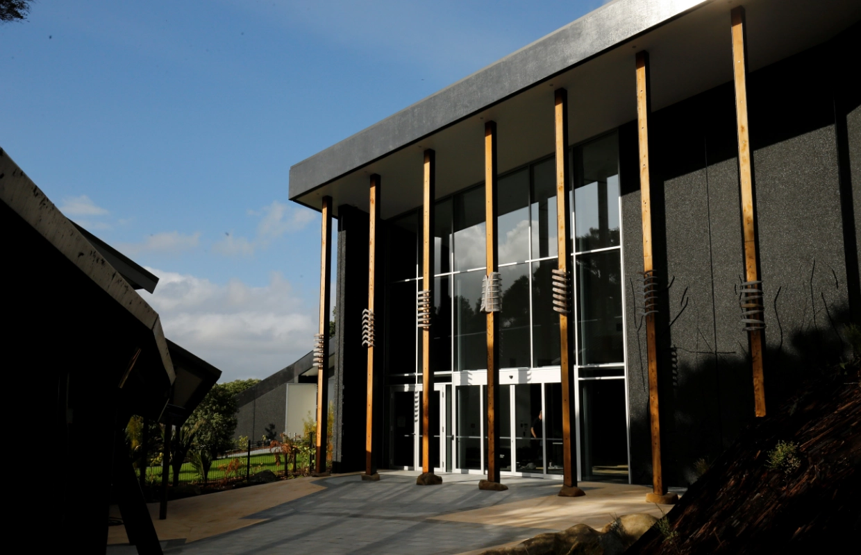
Salvation Army Auditorium Building
Location: Aubrey Street, Whangarei
Client: The Salvation Army
Services
Salvation Army Auditorium Building
Location: Aubrey Street, Whangarei
Client: The Salvation Army
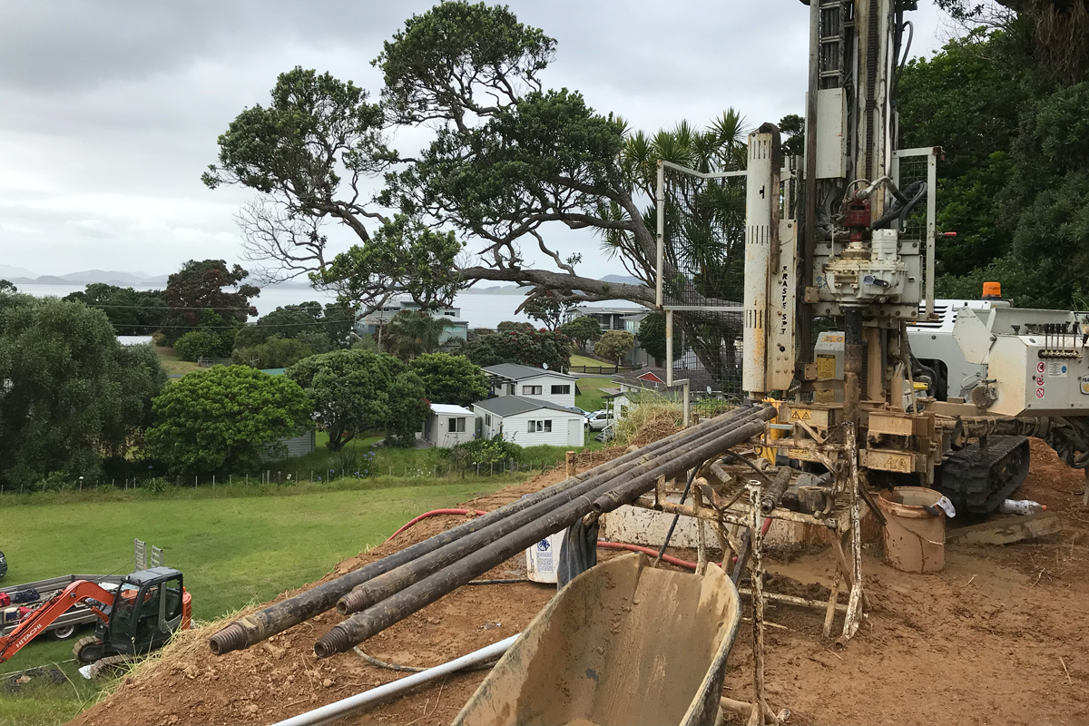
Northland’s ground is more complex than it looks on the surface. Expansive clays, peat deposits, liquefaction hazards, and the unstable geology of the Northland Allochthon mean that what is on the surface rarely tells the full story.
Our team carries out detailed geotechnical investigations across Northland to deliver consent-ready reports that give builders, architects, and Building Consent Authorities the clear data they need. Whether you are breaking ground on a new home, subdividing rural land, or buying a lifestyle section, we determine the soil conditions and provide foundation and retaining design parameters to keep your project structurally stable.
It is a technical document that profiles the sub-surface soil and rock layers beneath your site. It defines the physical engineering properties of the ground—such as bearing capacity and stability risks—and provides the data required for structural engineers to design foundations.
In most cases, yes. Whangarei District Council, Far North District Council, and Kaipara District Council all require or strongly recommend geotechnical assessment for new builds — particularly on sloped, coastal, or undeveloped land. Submitting without one on a site that requires it will likely result in delays to your consent.
The site testing is typically completed in a single day. The subsequent engineering calculations, analysis, and report generation timeline varies depending on active workloads, which we confirm when scoping your project.
The cost depends on three main things: how easy the site is to access, the terrain, and the scope of testing your project needs. A flat residential section typically needs less field work than a sloping site, one with a history of fill, or a larger commercial build. The testing method also matters. Hand augered boreholes and Scala penetrometer testing cost less than Cone Penetrometer Testing or machine drilled boreholes, which more complex sites require. We give a fixed, site specific quote once we know your address and project type, so you know the cost before any work begins. Get in touch with your site details and we'll put together an estimate.
It’s not always required, but it’s frequently one of the best investments you can make before settlement. A pre-purchase geotechnical assessment identifies ground constraints — peat, unstable slopes, poor bearing capacity — before you commit. Discovering those issues after purchase significantly limits your options and can affect the site’s developability and value. We offer pre-purchase assessments across Northland.
A builder's report is a visual inspection of the building's standing fabric and cladding. A geotechnical report is a sub-surface engineering evaluation of the actual earth and geology supporting the foundations, requiring physical field testing and mathematical analysis.
Geotechnical engineering is the branch of civil engineering that assesses the soil and rock beneath a site to determine how it will behave under load. It covers ground investigation, foundation design, retaining structures, and slope stability, and provides the technical basis structural engineers and Building Consent Authorities rely on before a project proceeds. In Northland, that typically means testing for expansive clays, peat, liquefaction risk, and the region's unstable Allochthon geology.
A geotechnical report sets out the ground conditions found at your site and what they mean for your build. It typically includes the results of field testing (boreholes, penetrometer or shear vane testing), an assessment of soil bearing capacity and any hazards such as peat, expansive clay, or slope instability, and specific foundation and earthworks recommendations for your project. The report is formatted to meet council requirements and is ready to submit with your building consent application.