Stormwater Management
Services

Stormwater Management

Hydrologic and Hydraulic Engineering Solutions

Stormwater management involves the analysis, routing, and mitigation of runoff generated by high-intensity rainfall events across Northland. Engineering design is required to manage peak discharge rates, prevent localised flooding, and control hydraulic impacts on adjacent properties and downstream receiving environments.

The RS Eng civil team develops site-specific stormwater management systems for single-lot residential developments, multi-lot subdivisions, and commercial or industrial sites. Our design capabilities cover conveyance networks, peak flow attenuation, on-site detention, quality treatment mechanisms, and land-disposal systems calibrated to localised soil profiles.

Engineering Services

We deliver civil stormwater assets that balance hydraulic performance, regulatory compliance, and environmental protection.

Let's work together

  • Flood Hazard and Risk Assessments
    Hydrological modelling of catchments to determine inundation levels, overland flow trajectories, and freeboard requirements.
  • Attenuation, Detention, and Retention Systems
    Design of dry detention ponds, wet retention basins, underground storage tanks, and orifice controls to restrict post-development discharge to pre-development levels.
  • Green Infrastructure Solutions
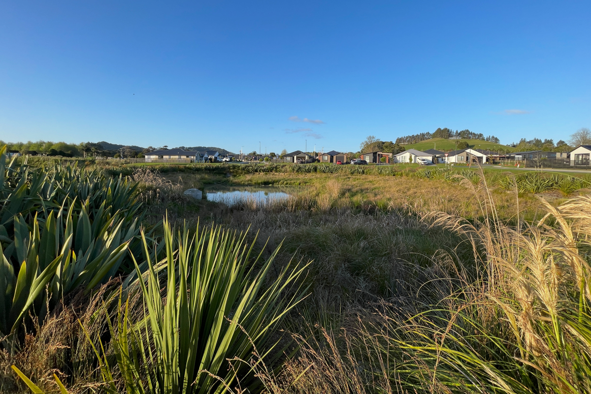
    Integration of low-impact urban design features including rain gardens, vegetated swales, and permeable pavements.
  • Water Quality Treatment
    Selection and sizing of proprietary interceptors, filtration systems, and settling basins to capture contaminants prior to environmental discharge.
  • Regulatory Compliance and Technical Reporting
    Generation of comprehensive engineering design reports, hydraulic calculations, and catchment plans to satisfy territorial authority engineering standards.

Project Triggers for Stormwater Engineering

Stormwater design is required or recommended under the following development conditions:

Request a Consultation

  • Building a New Home or Structure
    Most new builds need stormwater design to manage roof and hardstand runoff. On larger or low-lying sites, or where you are adding significant impervious area, councils require a detailed design and approval.
  • Subdividing or Developing Land
    Subdivisions and developments must manage the additional runoff they create—usually with detention or attenuation so peak flows do not increase downstream. This is a core part of the engineering for resource consent.
  • Building on a Low-Lying or Flood-Prone Site
    Where flood risk is present, stormwater design keeps buildings and access safe in large rainfall events. A flood assessment is often required before council will grant consent.
  • Discharging to Water, Ground, or a Network
    Discharges can trigger resource consent depending on scale and the relevant council rules. We assess the requirements and prepare the application.

Regional Civil and Environmental Constraints

Northland’s distinct sub-tropical climate and varied geology impose stringent boundary conditions on hydrological design and modelling:

Request a Consultation

  • High-Intensity Rainfall and Ex-Tropical Storms
    The region is susceptible to ex-tropical storm systems and severe localised convective downpours. Stormwater infrastructure must be hydraulically modelled and sized using localised rainfall data to handle critical, high-volume short-duration events.
  • Low-Gradient Coastal Topography
    Flat coastal land profiles suffer from low hydraulic gradients and poor drainage efficiency. Gravity outfall levels are directly constrained by tidal cycles, requiring backflow prevention and careful hydraulic grade line analysis.
  • Variable Soil Soakage Coefficients
    The predominance of low-permeability expansive clay soils restricts vertical infiltration. Standard soakage details are frequently unviable, site-specific soakage testing can be undertaken to verify actual hydraulic conductivity before designing ground-disposal systems.
  • Sensitive Coastal and Estuarine Outfalls
    Runoff entering sensitive marine, harbour, and estuarine environments is subject to strict water quality regulations. Our engineering incorporates targeted treatment to extract suspended solids, heavy metals, and hydrocarbons before environmental discharge.
Engineering and Documentation Workflow

We follow a clear process to assess the site, design the stormwater system, and deliver completed documentation.

Request a Consultation

  • Step 1 – Catchment Assessment and Fee Proposal
    Initial evaluation of site typography, public reticulation availability, and development scope to outline the required hydrological analysis and deliver an engineering fee estimate.
  • Step 2 – Site Evaluation and Geotechnical Coordination
    Review of topographical surveys, site levels, and soil profiles. Where ground disposal is required, we can coordinate or conduct field soakage testing to establish design parameters.
  • Step 3 – Hydraulic Modelling, Sizing, and Design
    Execution of hydrological calculations to determine runoff volumes. We model peak flows, size reticulation networks, and detail the necessary attenuation, treatment, or disposal structures to meet council engineering standards.
  • Step 4 – Regulatory Documentation and Construction Support
    Compilation of engineering drawings, design specifications, and civil stormwater reports for building or resource consent submission. We provide construction phase observation and deliver necessary engineering sign-offs upon completion.

FAQs

Detention involves temporarily storing peak stormwater runoff during a heavy rainfall event and releasing it at a controlled rate via an orifice. Attenuation is the broader process of reducing that peak downstream flow rate to prevent overwhelming public networks or natural watercourses.

Yes, if your project increases the net impervious surface area or cannot connect directly to a standard public gravity network. Territorial authorities require engineered plans to prove the development will not exacerbate upstream or downstream flooding.

Yes. We assess flood risk using council flood mapping alongside site-specific hydraulic analysis. We model catchment data to design mitigation systems that help buildings and access routes remain safe during major storm events.

If public infrastructure is unavailable, we engineer localised on-site solutions. Depending on tested soil permeability, this involves designing soakage pits, trenches, or discharging safely to an open watercourse via an engineered outfall with appropriate erosion control.